
Project developers
A walking tour for a new neighbourhood
First residents often arrive before the baker does. A custom tour in the StepQuests app gives the new streets a story: what stood here, why the park sits there, where the school will open.
How a neighbourhood tour gets made
You send a map, a handful of facts, and who should walk it. Buyers, first residents, or both.
We place stops on streets that exist today. A plot behind a fence waits until the path is open.
A QR code at the sales office or community room opens the tour in StepQuests. People walk without a host.
What the walk is for
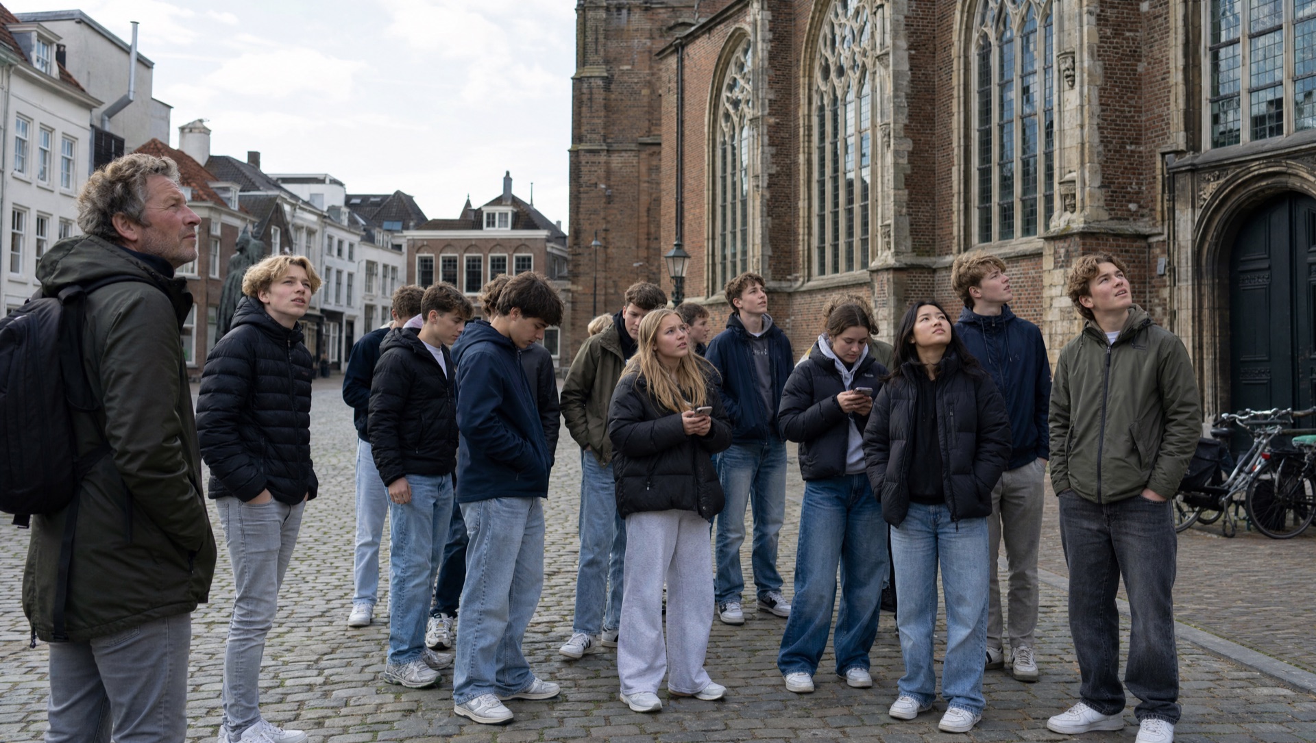
Project developers use this when a neighbourhood is new enough that maps still draw empty fields. The sales team can hand someone a phone tour instead of another brochure. Residents get a 90-minute loop that names the park, the water, the old farm lane that still cuts through. We write from material you supply and from what is publicly checkable. Stories stick to dates, names, and streets people can already walk.
Who asks for this
Area developers, housing associations, a municipality working with a builder. Launch weekend, a welcome pack, a QR on the hoarding once the path is open. Haarlem, and other Dutch cities when the streets are already walkable.
What we need
01
A plan of the neighbourhood and which paths a visitor can already use.
02
A few verified facts: dates, names of parks, what used to stand on the plot.
03
Who walks it, and whether the tour stays private or becomes public in the app.
04
A few weeks after we agree the stops. Everyone needs a phone with GPS.
Also see
Ask about a neighbourhood tour
Send the city, the project name, and whether buyers or residents should walk it. We reply to this email.